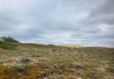
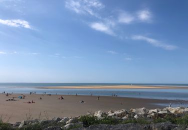
Trail Cycle La Tremblade - Balade à vélo à la Coubre - Photo

Balade à vélo à la Coubre

© OpenStreetMap contributors
Length
Length
36 km
Max alt
Max alt
21 m
Uphill gradient
Uphill gradient
205 m
Km-Effort
Km-Effort  
39 km
Min alt
Min alt
1 m
Downhill gradient
Downhill gradient
205 m
Boucle
Boucle
Yes
Creation date :
2014-12-10 00:00:00.0
Updated on :
2014-12-10 00:00:00.0

(1 Reviews)

Cycle
Cycle
2h16
Difficulty : Medium

Scan this QR Code to open this trail in the SityTrail application

FREE GPS app for hiking

Logo SityTrail SityTrail

IGN / Geographical institutes

Download SityTrail from the App Store Download SityTrail from Google Play

Logo SityTrail SityTrail World

The world is yours!

Download SityTrail from the App Store Download SityTrail from Google Play Download SityTrail on Huawei AppGallery

About

Trail Cycle of 36 km to be discovered at New Aquitaine, Charente-Maritime, La Tremblade. This trail is proposed by Arnauderick.

Description

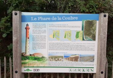
Départ de la maison forestière du Pavillon, prendre la la piste cyclable qui traverse la forêt de la Coubre vers le nord jusqu'à Ronce-Les-Bains, couper à travers champs et bois jusqu'au rond-pond-point des Mathes, prendre la piste cyclable qui borde la forêt de la Coubre jusqu'à Bonne Anse puis retour au Pavillon.

Elevation profile

Photos

Positioning

Country:
France
Region :
New Aquitaine
Department/Province :
Charente-Maritime
Municipality :
La Tremblade
Location:
Unknown
Start:(UTM)
638353 ; 5065078 (30T) N.

Comments

Please log in to post a review or rate the element


Très bonne application Problème avec le mobile on ne voit rien trop de lumière


Trails nearby

Trail Walking La Tremblade - phare de la courbe  - Photo
Walking
JJG54

Walking

Easy
La Tremblade, New Aquitaine, Charente-Maritime, France
5.3 km | 5.6 km-effort
1h 29min
Yes
Trail Walking La Tremblade - autour du phare de la coubre  - Photo
Walking
ninie51

Walking

Easy
La Tremblade, New Aquitaine, Charente-Maritime, France
5.2 km | 5.5 km-effort
1h 32min
Yes
Trail Walking La Tremblade - 2020-08-30 Tour du Gradour - Photo
Walking
bouthors

Walking

Easy
La Tremblade, New Aquitaine, Charente-Maritime, France
4 km | 5.2 km-effort
58min
Yes
Trail Walking Les Mathes - La palmyre SAR - Photo
Walking
JeanLuc17

Walking

Medium
Les Mathes, New Aquitaine, Charente-Maritime, France
10.4 km | 11.2 km-effort
2h 46min
Yes
Trail Walking La Tremblade - SityTrail - 2018-21-02 Gardour - Photo
Walking
Jos17

Walking

Medium
La Tremblade, New Aquitaine, Charente-Maritime, France
8.4 km | 9.9 km-effort
2h 14min
Yes
Trail Walking Les Mathes - 17 Le requin   -8km800 - Photo
Walking
Jos17

Walking

Easy
Les Mathes, New Aquitaine, Charente-Maritime, France
8.8 km | 9.6 km-effort
3h 14min
Yes
Trail Walking La Tremblade - phare de la courbe - Photo
Walking
penaud

Walking

Difficult
La Tremblade, New Aquitaine, Charente-Maritime, France
12 km | 13.2 km-effort
5h 31min
No
Trail Walking La Tremblade - Phare de la Coubre - Photo
Walking
ezola

Walking

Medium
La Tremblade, New Aquitaine, Charente-Maritime, France
7.4 km | 7.8 km-effort
1h 54min
No
Trail Walking Les Mathes - La palmyre - Photo
Walking
patsab78

Walking

Les Mathes, New Aquitaine, Charente-Maritime, France
8.5 km | 9.2 km-effort
2h 20min
Yes


Close
My subscriptions